Resolution Drone Services
Capturing the world from above with clarity and purpose - transforming aerial perspectives into powerful visuals and actionable insight.
Turning Complex Sites into Clear Visual Data
See your project from a clearer perspective. Resolution Drone Services delivers aerial video and thermal imaging that capture large-scale movement, structural activity, and hidden thermal patterns—turning complex job sites into clear, actionable visual insight.
Our Services
Providing high-quality drone photography, aerial videography, and qualitative thermal imaging, these services give businesses, property owners, and developers a clear, elevated view of their projects. Offerings include commercial real estate aerial photography, roof and exterior imaging, construction progress documentation, and landscape visuals - all captured from a clean, aerial perspective.
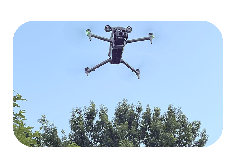
Whether for visual documentation, marketing content, or thermal reference, services are delivered by an FAA Part 107 certified drone pilot - capturing clear, dependable imagery from above without the need for ladders, lifts, or direct access.
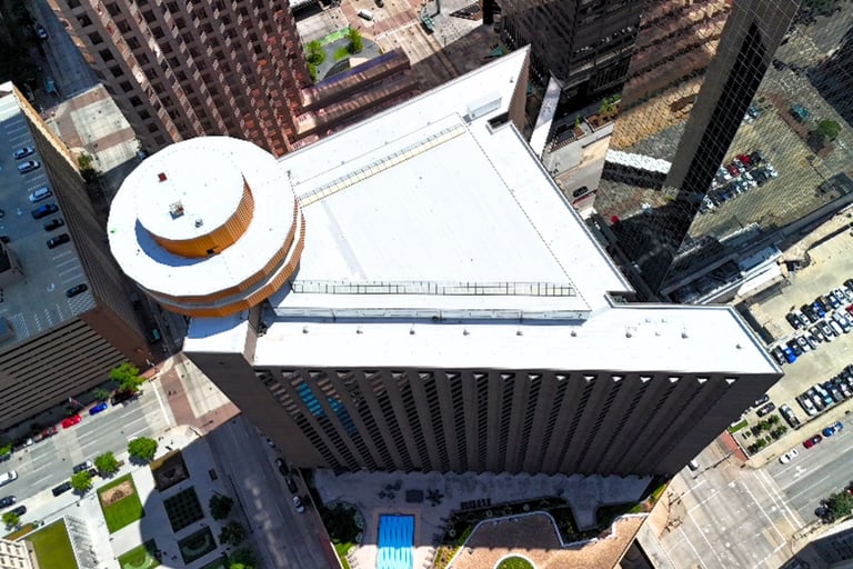
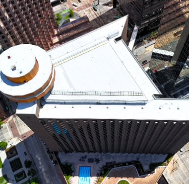
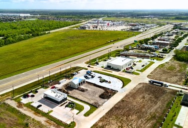
Aerial Photos
Aerial imagery brings clarity to every project, and Resolution Drone Services delivers high-quality visuals that reveal the full picture from above.

Video Capture
Aerial footage designed to reveal issues, document projects and provide clear visual insight.
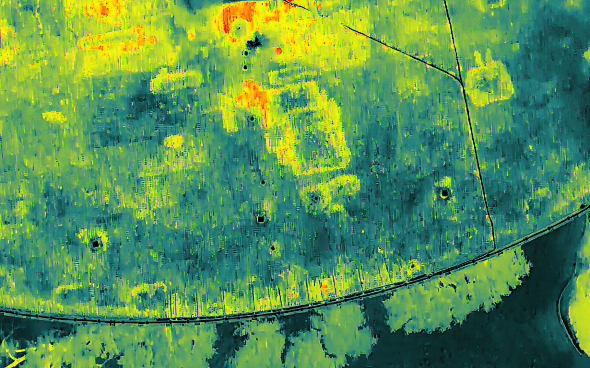
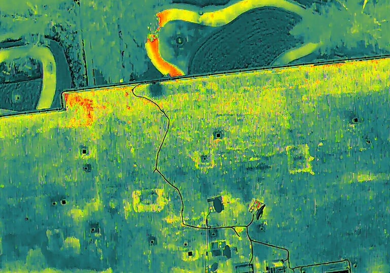
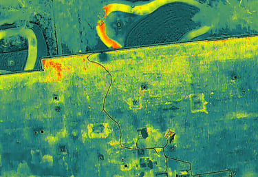
Qualitative thermal imaging for accurate assessment and insight, detect moisture intrusion and inefficient infrastructure.
Thermal Mapping
Contact Us
Send us a message!